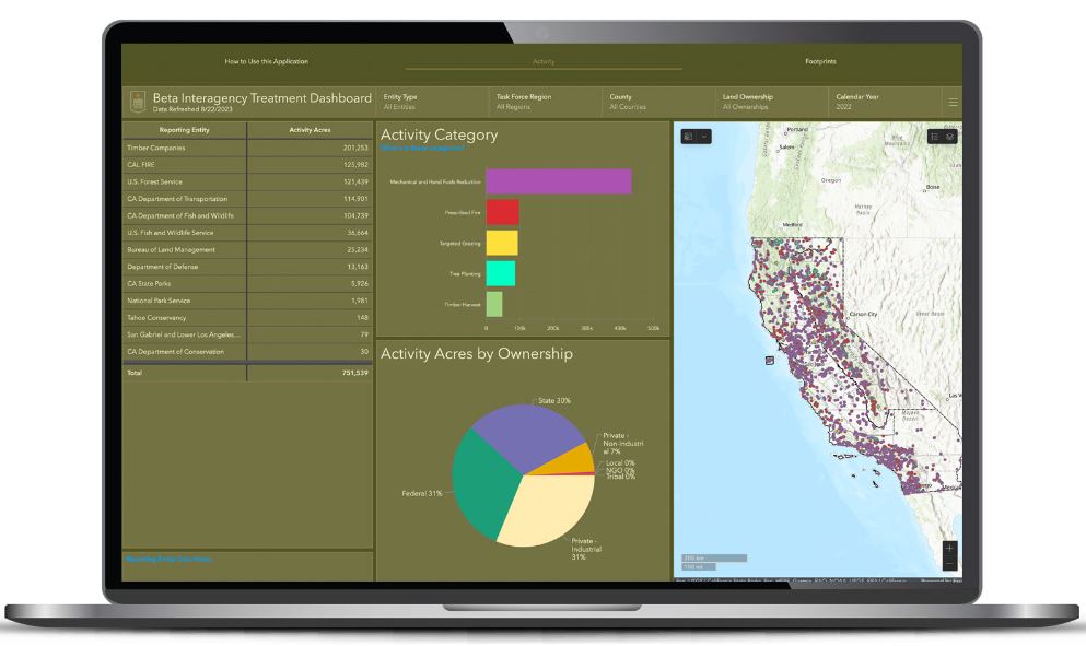
 September 3, 2023 – The Rural County Representatives of California (RCRC) reports the Governor’s Wildfire and Forest Resilience Task Force (Task Force) has launched the beta version of a first-of-its-kind Interagency Treatment Dashboard that displays the size and location of state and federal forest and landscape resilience projects in California.
The dashboard offers a one-stop-shop to access data, provide transparency, and align the efforts of more than a dozen agencies to build resilient landscapes and communities in California. It reports treatment activities such as prescribed fire, targeted grazing, uneven-aged timber harvest, mechanical and hand fuels reduction, and tree planting. Users can sort treatments by region, county, land ownership and more.
The dashboard is an important step to increase the pace and scale of statewide actions addressing California’s wildfire crisis and is a key deliverable of the Governor’s Wildfire and Forest Resilience Action Plan, issued by the Task Force in January 2021.
The beta version of the dashboard will continue to be refined to include additional data, including projects by local and tribal entities, along with revisions based on public feedback. An official launch is expected in spring 2024 with more complete data on projects implemented in 2022.
ABOUT RURAL COUNTY REPRESENTATIVES OF CALIFORNIA (RCRC)
The Rural County Representatives of California (RCRC) is a thirty-seven member county strong service organization that champions policies on behalf of California’s rural counties. RCRC is dedicated to representing the collective unique interests of its membership, providing legislative and regulatory representation at the State and Federal levels, and providing responsible services for its members to enhance and protect the quality of life in rural California counties. To learn more about RCRC, visit rcrcnet.org and follow @RuralCounties on Twitter, Facebook, and Instagram.
Source: RCRC

